- Downloaded Weather Files automatically appear as the Selected Weather File when imitating the weather file download from inside a prediction. This is a minor change that will save you time each time you want to download a new weather file for your prediction.
- Latitude and Longitude Values now appear as decimal values on the Project Screen. We have received feedback that the minute level format for Lat/Lon was not helpful, so we changed to Decimal format only when displaying Lat/Lon.
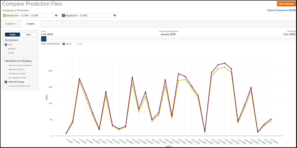
- You can now initiate a Prediction Clone from within the Prediction Screen. You used to need to navigate to the Project Screen and then clone the Prediction that you wanted to clone. That was a couple extra mouse clicks, so we added a Clone link to the top of the Prediction to make this process a little easier.
- You can now create a Constraint Shape from a Parcel with a click of a mouse button. Historically, you could only create a Site Boundary, but now the option exists to also create a constraint. This is handy if you are evaluating multiple parcels in an area and you want an easy way to turn on/off certain parcels.
- Terrain Slope constraint analysis now supports support values up to 30%. We used to limit this to 20%, but we received feedback that users would like to evaluate slopes even greater than 20%.
- Users without Company Level Default Road Widths were not able to create Block Builder Predictions because of an error. We have resolved this.
- Project/Prediction File imports (.PPP Files) that included Non-Global modules or inverters were failing. This has also been resolved.